About All Tours Jeep ToursHiking ToursHelicopter ToursMoonshine Tours Directions Hours & Fees Guides
Find Tours 
Spanning the border of North Carolina and Tennessee, this 522,427-acre wilderness protects the largest block of never-logged forest in the eastern United States. You can drive the 11-mile Cades Cove loop past 19th-century log cabins or walk the paved half-mile trail to Kuwohi for 100-mile views across seven states.
Find Guided ToursGreat Smoky Mountains National Park covers 522,427 acres of forested wilderness across the North Carolina and Tennessee border. The terrain rises sharply from 875 feet at Abrams Creek to the 6,643-foot summit of Kuwohi. More than 12 million recreational visits happen here each year. It is the busiest national park in the United States. Eight major forest types cover 96 percent of the land, fed by 85 inches of annual rainfall and drained by 2,100 miles of streams.
These are some of the oldest mountains on Earth, formed 200 to 300 million years ago. Because Ice Age glaciers never scoured their slopes, plant and animal species migrated here over millennia and survived. That geological luck created the highest biodiversity of any American national park. Researchers have documented over 19,000 species. Tens of thousands more are estimated to live in the brush and canopy. The boundaries protect the largest remaining block of never-logged forest in the eastern half of the country.
Humans have used the Smokies for at least 9,000 years. The Cherokee lived here long before European settlers arrived in the early 1800s. By the 1880s, industrial logging companies moved in. Over the next fifty years, clear-cutting threatened to strip the remaining timber entirely.
Stopping the timber industry required buying the land back. Grassroots fundraising collected money from locals and schoolchildren, while John D. Rockefeller Jr. donated $5 million. North Carolina and Tennessee purchased the tracts, leading to the park's official establishment in 1934. Civilian Conservation Corps crews spent the 1930s cutting trails, paving roads, and building stone bridges. President Franklin D. Roosevelt formally dedicated the site at Newfound Gap on September 2, 1940. Today, over 90 historic log cabins, churches, and gristmills remain standing in the valleys.
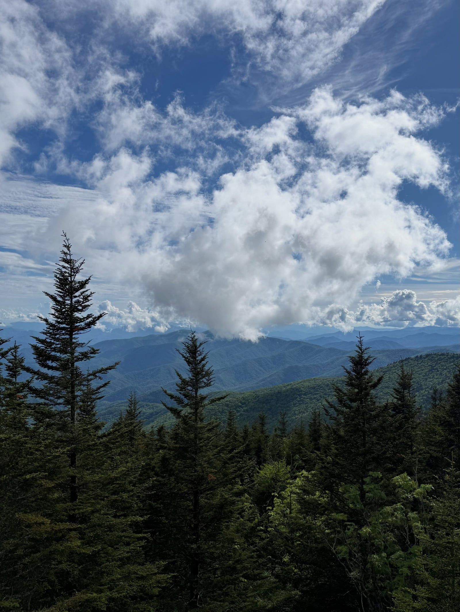
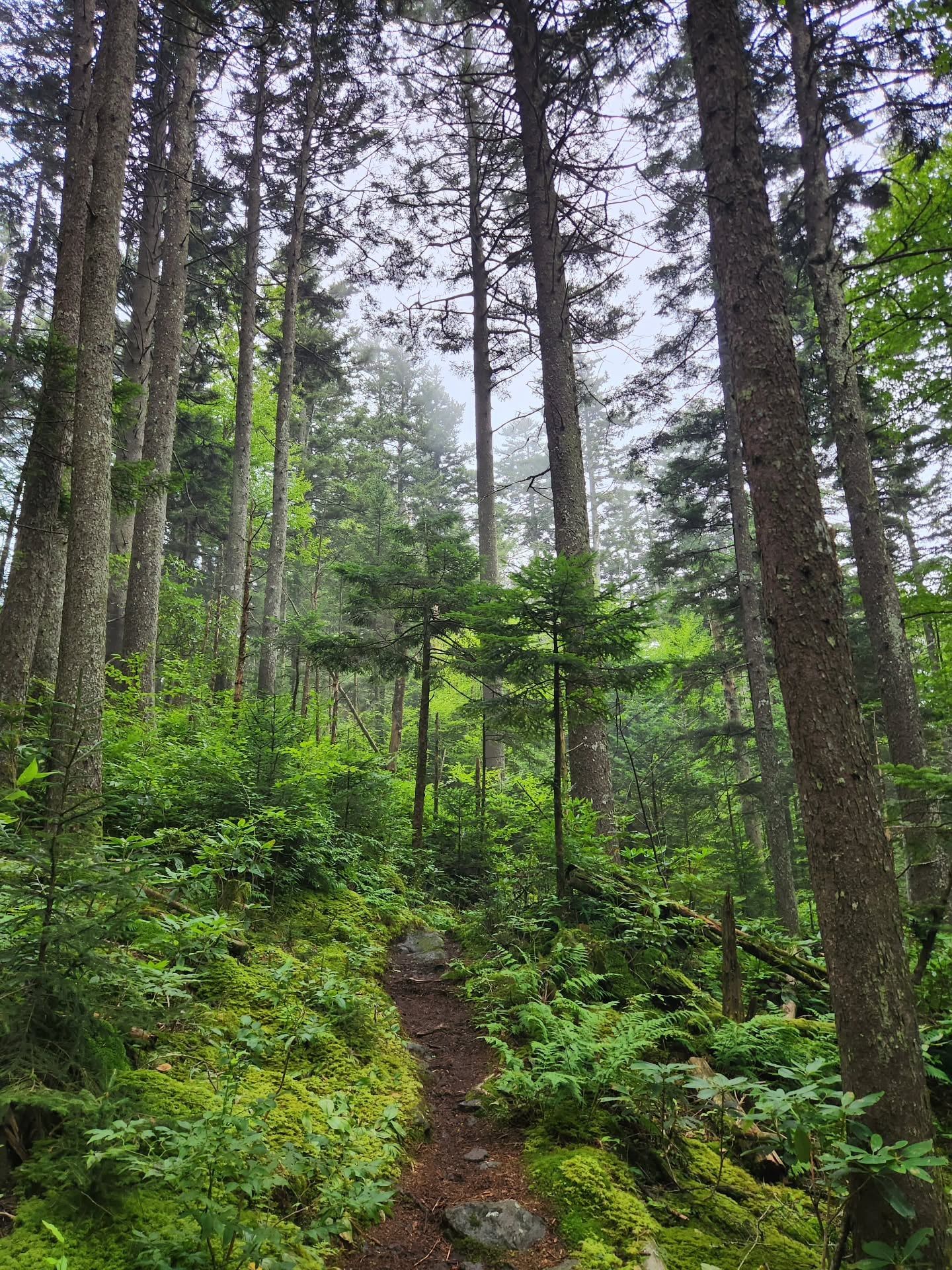
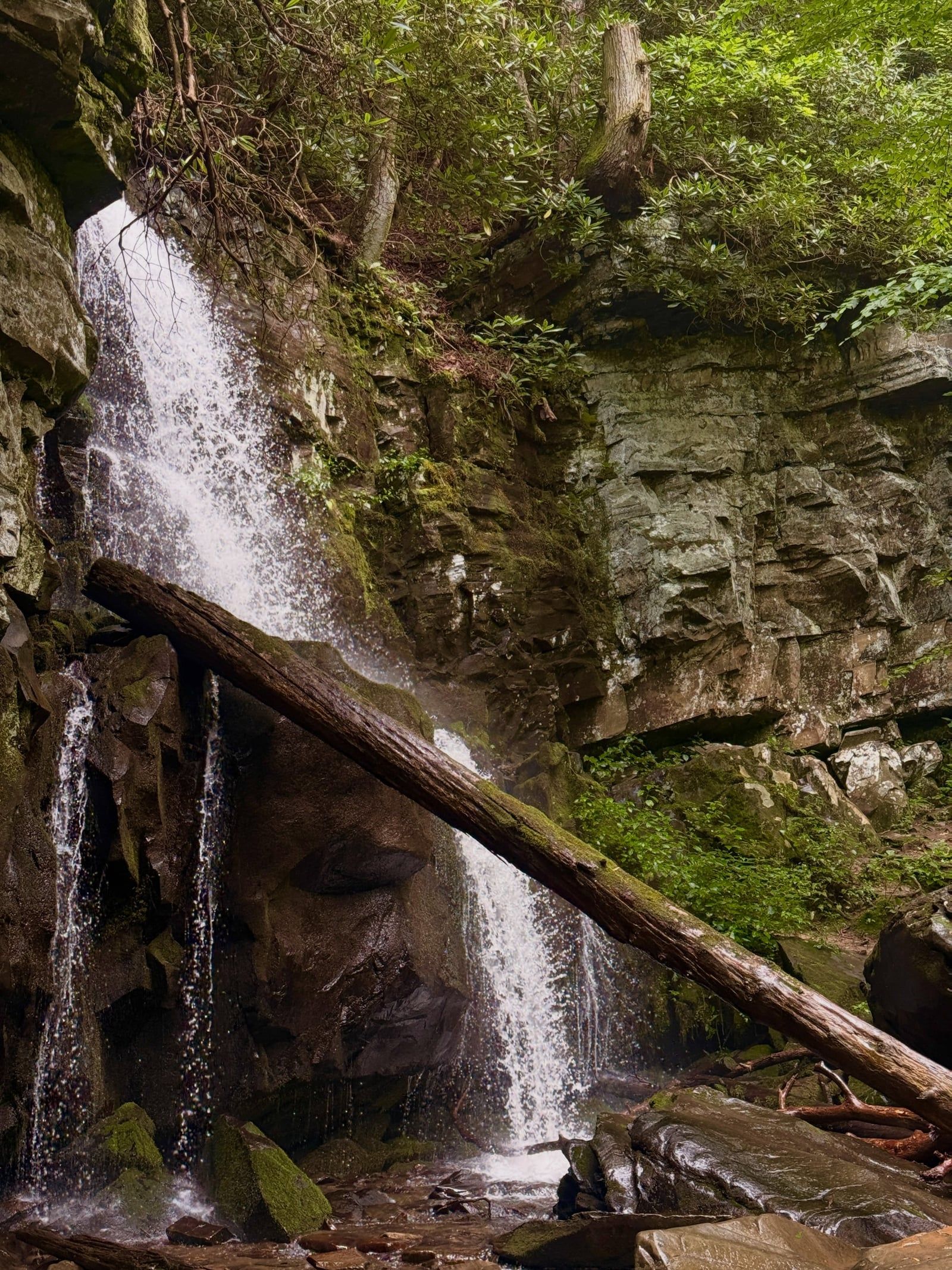

Discover the full history and cultural significance on our About page.
This 11-mile road circles a broad mountain valley. Watch the fields for black bears, wild turkeys, and white-tailed deer. You can pull over to walk through 19th-century homesteads and the working John P. Cable Mill. Summer Wednesdays are best. The loop closes to cars completely.
The park's highest peak hits 6,643 feet. Drive the seasonal Kuwohi Road, then walk a steep, half-mile paved path to the observation tower. Clear days deliver 360-degree views stretching 100 miles across seven states. Expect a temperature drop of up to 20 degrees from the valley.
Thousands of Photinus carolinus fireflies flash in exact unison after dark. This display happens every June near Elkmont. The park protects over 19,000 documented species. But this specific summer light show is the one that draws naturalists from across the country.
A narrow, 5.5-mile one-way drive cuts straight through old-growth forest. You'll pass historic log cabins and pull right up to roadside cascades like the Place of a Thousand Drips. Take it slow. Trailers and RVs are banned on this winding route.
Choose from ten tours rated 4.0 or higher, starting at $14.44 with free cancellation up to 24 hours before departure.
Swipe to see more
Late April through May and October offer the best balance of moderate weather and natural displays. Aim for weekdays during these windows to dodge the heaviest traffic on park roads.
Late April and May bring moderate temperatures and massive wildflower blooms, celebrated by the annual Spring Wildflower Pilgrimage. Weekdays provide lighter crowds before the summer rush begins.
The park records over a million visits each summer month. Expect heavy, slow-moving traffic on both Cades Cove Loop Road and Newfound Gap Road.
October delivers vivid fall foliage that shifts down the elevation gradient. Weekdays are ideal here, since October weekends rank among the park's most heavily congested periods.
Mid-winter brings the fewest crowds, but snow and ice close high-elevation routes like Kuwohi Road. The Newfound Gap crossing frequently becomes hazardous or completely impassable.
The park never closes. You can drive in 24 hours a day, 365 days a year. Cades Cove Loop Road is the one major exception, operating strictly from dawn until dusk. Visitor centers stay open year-round, closing only on Christmas Day, though specific hours shift with the seasons. The John P. Cable Mill in Cades Cove runs from 9 a.m. to 5 p.m. between mid-March and late November. High-elevation routes like Kuwohi Road and secondary tracks shut down entirely in winter or when severe weather hits.
| Category | Price |
|---|---|
| Entrance Fee | Free |
| Daily Parking Tag | $5 |
| Weekly Parking Tag (up to 7 days) | $15 |
| Annual Parking Tag | $40 |
| Backcountry Camping (per person, per night) | $8 |
| Standard Picnic Pavilion | $32 |
| Twin Creeks Picnic Pavilion | $75 |
You must buy a parking tag if your vehicle stops for more than 15 minutes anywhere inside park boundaries. Interagency passes like America the Beautiful don't cover this fee. Vehicles with a disability license plate or placard park for free. Buy tags ahead of time at recreation.gov or at automated machines near visitor centers. A valid tag doesn't guarantee an empty space at crowded trailheads like Laurel Falls.
For complete schedules and ticket prices, visit our Hours & Fees page.
No direct public transit connects major cities to the park. You will need to drive yourself or hire a seasonal commercial shuttle from a gateway town.
Drive south on US-129/US-321 or take the Foothills Parkway. This 45-mile route leads straight to the Gatlinburg entrance near the Sugarlands Visitor Center, handling most incoming traffic from East Tennessee. You avoid toll roads entirely. Just pay for fuel and the required parking tag. It is the most common gateway for fliers.
Head west on I-40, then switch to US-19 and US-441. The drive passes through Maggie Valley and Cherokee before hitting the Oconaluftee Visitor Center on the North Carolina side. This 55-mile path is straightforward. You only need to cover the cost of fuel. It brings you directly into the park's southern boundary.
McGhee Tyson Airport in Knoxville operates as the closest commercial hub. From the terminal, you rent a car and drive about 60 miles toward the Cherokee entrance. There is no public transit from the airport into the mountains. Rental rates vary by agency. You pay no gate fee to enter the park itself.
The park lacks an official transit system. Instead, private operators like Smoky Bear Shuttle, RockyTop Tours, and Smoky Rides step in. They run seasonal routes from March through October out of Gatlinburg, Pigeon Forge, or Cherokee. Booking one bypasses the headache of finding a spot in the park's first-come, first-served lots. Prices depend entirely on the company.
For detailed transport options and routes, visit our Directions page.
The park charges no entrance fee, but stopping longer than 15 minutes requires a parking tag. Buy your $5 daily pass online or at visitor center kiosks before heading up the mountain. A tag does not guarantee a space. Arrive before 8 AM for popular trailheads like Laurel Falls.
Cell phone service drops to zero across most of the 800-square-mile park. Download the free NPS app and save offline maps to your phone while you still have a signal in Gatlinburg or Cherokee. Tell someone your hiking itinerary before setting out.
Pets are heavily restricted to protect hikers and wildlife. You can walk dogs on a leash along the Gatlinburg and Oconaluftee River trails. The remaining 800 miles of backcountry paths strictly prohibit them. Plan alternate routes if you want to explore deeper into the forest.
Swift streams and slick rocks make drowning a leading cause of death here. Climbing the rocks around cascades often leads to severe injuries or fatal falls. Keep away from the edges. Skip swimming entirely and view the water from established paths.
Not all park roads handle large vehicles. Buses, RVs, and vehicles pulling trailers are banned from several secondary routes, including the Roaring Fork Motor Nature Trail and Balsam Mountain Road. Check the official traffic page before driving these narrow, winding loops.
Temperatures drop sharply as you drive up the mountains. The weather at the 6,643-foot summit of Kuwohi is often 10 to 20 degrees colder than the lowland valleys. Bring an extra layer even in summer. High-elevation roads ice over quickly and close entirely during winter months.
This mountain resort town operates as the primary northern basecamp. You'll find plenty of restaurants and shops, plus an aerial tramway and the Gatlinburg SkyBridge. It makes an easy overnight stop for early park starts.
The homeland of the Eastern Band of Cherokee Indians provides direct cultural context for the region. Visitors can walk to Mingo Falls, watch the outdoor drama 'Unto These Hills', or visit the tribal museum.
Skip the heavy traffic on Newfound Gap Road and drive this quieter route instead. It delivers wide mountain panoramas without the typical gridlock. That makes it your best option for sunset viewing.
Read what travelers share about their experience visiting Great Smoky Mountains — from practical tips to personal highlights.


Planning advice, comparisons, and practical tips.

Great Smoky Mountains National Park pulls in more than 12 million visits a year, more than almost any other park in the country. Most of that traffic…

Late April through May, and late September into October, are the two windows nearly every ranger and repeat visitor points toward for the best time…

Color moves down the Great Smoky Mountains one elevation band at a time, starting above 4,000 feet in mid-September and not finishing in the valleys…

Great Smoky Mountains National Park never closes for winter — it's open around the clock, all year — but the season splits into two different parks…
You don't pay an entrance fee, but any vehicle parked longer than 15 minutes needs a parking tag. These cost $5 for a single day, $15 for a week, or $40 for an annual pass. You can buy them at visitor centers or online at recreation.gov.
The park stays open 24 hours a day, 365 days a year. The only exception is the 11-mile Cades Cove Loop Road, which opens at dawn and shuts at dusk.
McGhee Tyson Airport in Knoxville, Tennessee, sits about 45 miles from the Gatlinburg entrance. The drive takes roughly an hour down US-129 and US-321. You'll need to rent a car or book a private shuttle, as public transit doesn't run to the park.
No timed-entry reservation is required just to drive in or hike. You only need to book ahead for frontcountry campgrounds on recreation.gov or backcountry camping permits, which cost $8 per person per night.
The 3-mile roundtrip Oconaluftee River Trail and the areas around the main visitor centers are flat and paved. The park also loans out off-road GRIT Freedom Chairs for free to use on specific evaluated trails. You can reserve these 3 to 30 business days in advance between May and October.
Bring layered clothing and sturdy shoes. Temperatures easily drop 10 to 20 degrees between the lowland valleys at 875 feet and the 6,643-foot summit of Kuwohi. Leave your drone at home, as they are completely banned everywhere inside park boundaries.
Dogs are banned on almost all of the park's 800 miles of trails. You can only walk leashed pets on the Gatlinburg Trail and the Oconaluftee River Trail, or keep them in campgrounds, picnic areas, and parking lots.
Come in late April or May for the spring wildflowers, or October for the fall foliage. Avoid summer weekends if you hate traffic, as June through August pull in over a million visits each month. Winter brings empty roads but also snow and ice that shut down high-elevation routes like Kuwohi Road.
Browse verified tours with free cancellation and instant confirmation.
Find Tours